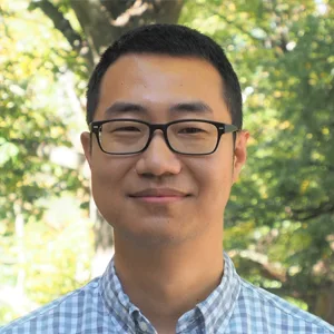
Dr. He Yin is an expert in Earth observation for environmental monitoring. He integrates remote sensing imagery, artificial intelligence and machine learning, and interdisciplinary approaches to understand environmental change and its consequences for ecosystems and society. His overarching goal is to advance sustainable and just environmental management.
He is the principal investigator of projects funded by NASA, NSF, Lawrence Livermore National Laboratory, and the Center for International Forestry Research. His research spans global environmental change, land systems, natural hazards and disasters, and the environmental impacts of armed conflict. His work has also supported United Nations agencies, including UNEP and UNOPS, in disaster recovery, reconstruction, and environmental assessment.
Current Responsibilities
Lead interdisciplinary research integrating remote sensing, AI, and machine learning for environmental monitoring.
Develop geospatial approaches for assessing environmental change, natural hazards and disasters, conflict impacts, agricultural systems, and forest dynamics.
Advise and mentor graduate and undergraduate students in remote sensing, GeoAI, and environmental data science.
Coordinate two Global Land Programme working groups: Remote Sensing for Land System Science and Agricultural Land Abandonment as a Global Land-Use Change Phenomenon.
Collaborate with international organizations, including United Nations agencies, on environmental assessment, disaster recovery, and reconstruction.
Research Interests
Earth observation and environmental monitoring
Remote sensing
Geospatial artificial intelligence and machine learning
Land use and land cover change
Armed conflict and environmental impacts
Natural hazards and disaster assessment
Environmental sustainability and environmental justice